Damage Path Helps Oklahoma Meteorologists Prepare For Future Storms
<p>NWS teams are following the path of damage to determine the track of the storm, and looking at the extent of the damage to determine how strong the wind was as it came through.</p>Monday, May 18th 2015, 7:59 pm
The National Weather Service said it appears the storm overnight Saturday developed several tornadoes - the strongest was an EF-2. They determined that by checking the damage firsthand.
While homeowners are cleaning up, the National Weather Service has a team out assessing damage.
5/18/2015 Related Story: Weather Service Rates Broken Arrow Tornado EF-2, Inola EF-1
They're following the path of damage to determine the track of the storm, and looking at the extent of the damage to determine how strong the wind was as it came through.
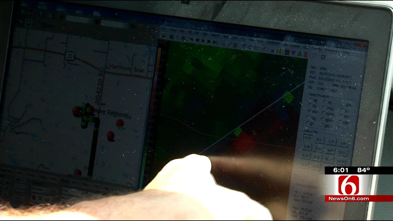
Meteorologist Steve Piltz spent Monday following what the radar indicated was the likely path of the damage from Saturday night.
"That's part of the reason to do this is to understand what the damage looks like on the ground versus what the radar sees. So on those stormy nights we can look at it and go, ‘Hey, remember when it looked like this, it was really doing that,'” he said.
The meteorologists match up wind speed from radar with the damage they see on the ground. That helps them predict the damage for the next storm.
They follow the path to help determine how many tornadoes formed and where.
5/18/2015 Related Story: Emergency Crews Assess Damage Caused By Wagoner County Tornado
Piltz said the Claremore airport appears to be a point where one tornado died out and another one started.
“The Inola tornado died probably in here, somewhere to our southeast, now, but you can see tree damage on the edge of the tree line over here that probably begins the next tornado that will come northeast,” Piltz explained.
The path of damage from the same system extends from Broken Arrow to Inola, Fairland and into southwest Missouri.
The weather service survey isn't over, but they already know there were several distinct tornadoes; and where it wasn't a tornado, the wind sometimes hit 100 miles an hour.
"Often times people think that tornadoes are skipping and jumping because they see a damage pattern that isn't consistent, but often that has to do with construction, so we look at the foundation and the rafters and try to make estimates there too," Piltz said.
The meteorologists are comparing the damage they see on the ground with the images they saw on the radar, so next time when they're looking at the radar they have a better idea of what kind of damage could be happening.
More Like This
September 29th, 2024
September 17th, 2024
Top Headlines
December 14th, 2024
December 14th, 2024
December 14th, 2024
December 14th, 2024


