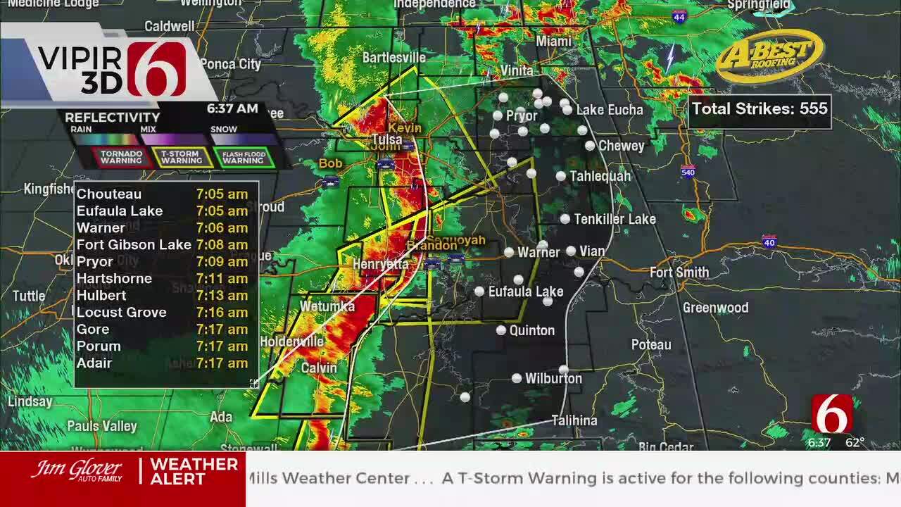
Tracking Rain Moving Into Eastern Oklahoma
<p>Our next weather maker is already producing some spotty showers across southern Oklahoma this morning and should gradually move north through the day. </p>Thursday, October 18th 2018, 3:50 am
Our next weather maker is already producing some spotty showers across southern Oklahoma this morning and should gradually move north through the day. We still think our best chance for the metro will be late tonight through Friday morning before a front arrives with dry air and improving conditions into the weekend. Readings this morning will be in the upper 40s and lower 50s with increasing clouds along with highs this afternoon in the lower to mid-60s. I’ll need a slight chance for some daytime showers across the southern region but the better coverage and likely will remain for later tonight into Friday. The precipitation later tonight into Friday will also be relatively light. northern Oklahoma will pickup between .25 and 0.50 inches of rainfall while locations near or south of McAlester may receive from 0.75 to near 1.20 inches. No severe weather will occur.
The main upper level low that has been cut off from the flow for the past few days is now ejecting to the northeast and will be absorb by a short wave diving down the Canadian Rockies into the central plains. A surface front will develop and rapidly move southward, entering northern Oklahoma Friday midday to afternoon. The air mass behind this front will remain mild, and mostly of pacific origin. The surface air flow Friday evening into most of Saturday will bring warmer weather for Saturday afternoon across eastern Oklahoma with daytime highs in the upper 60s near 70.
Sunday morning, a surface ridge of high pressure will develop and nudge into northeastern Oklahoma with clear sky and light winds. This will allow temps to drop into the lower to mid-30s near the metro and possibly colder in some valley locations. The surface winds will remain from the northeast for most of Sunday and should act keeping the highs into the upper 50s to lower 60s for the afternoon along with sunshine and light winds.
Monday into Tuesday a weak upper level impulse will move across the state with a very slight chance of a few showers. Data this morning develops a new surface low across Texas and lifts this northeast Tuesday into Wednesday with increasing rain and thunderstorm chances across the Red River Valley into eastern Oklahoma. This solution is not locked in consistently yet but is gaining some confidence in the data. Our pops will be increasing for this period of next Wednesday.
Thanks for reading the Thursday morning weather discussion and blog.
More Like This
October 18th, 2018
April 15th, 2024
April 12th, 2024
March 14th, 2024
Top Headlines
April 26th, 2024
April 26th, 2024
April 26th, 2024


