Storm Chances Return Soon
Another warm spring day is ahead, but storms chances could soon return.Wednesday, May 3rd 2023, 5:45 am
If you’re into podcasts or in a rush, check out my daily weather update. Search for NewsOn6 and ‘Weather Out The Door’ on most podcast providers, including Spotify, Stitcher and Tune-In, or Click Here to listen on Apple Podcasts.
TULSA, Okla. - Another warm spring day is ahead, but storms chances could soon return.
Here are the details from News On 6 Meteorologist Alan Crone:
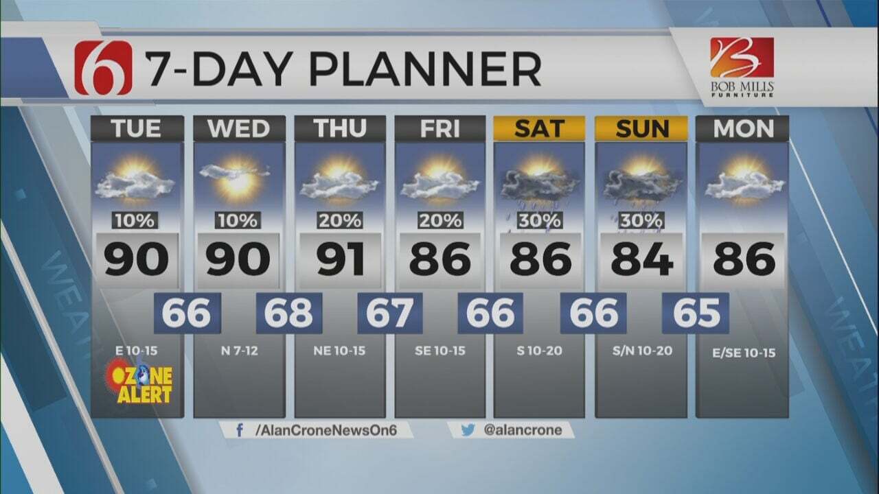
A sunshine-cloud mix arrives on Wednesday afternoon with highs in the mid-70s. A few showers across far western OK will diminish later this morning, but a mid-level, convectively induced area of vorticity may trigger a few showers or storms later this afternoon near I-35. A few of these will move east later this afternoon but should become highly isolated. Our chances this afternoon remain very low, but not zero. Additional storm chances will return Thursday morning to midday across the northern part of the state well ahead of the main forcing that will be located to our west. Thunderstorms that develop along and ahead of the dry-line Thursday evening will be severe across the western half of the state, where all modes of severe weather will be possible, including a tornado with any discrete mature supercell. Some of these storms will likely move into northeastern OK Thursday evening with a continued threat of some strong and severe storms. A small complex will more than likely develop with the help of a low-level jet late Thursday night and move across the far northern section of the state into southeastern Kansas. This complex will present a damaging wind threat in a few spots as it transits into southwestern Missouri. This wave of energy is likely to be east of the state by Friday morning with clearing sky, gusty south winds, and warming temps. Friday morning lows in the 60s should be followed by afternoon highs in the upper 80s to near 90. Saturday afternoon highs will also be in the upper 80s and lower 90s before another chance of storms arrive by the evening.
The typical surface set-up for May will be underway in the next few days. This brings a dry line across the far western part of the state with a surface area low pressure center developing across southeastern Colorado into southwestern Kansas. A gradual warming trend will present a warm front also developing, mostly across southern Kansas. The atmosphere east of the dry line and south of the warm front will become moderately unstable during the next few days as a series of upper-level disturbances near the state. Thunderstorm chances return, including the mention of strong to severe storms. All modes of severe weather will be possible, but the overall coverage of storm activity will be limited. We’ll have several windows of opportunity through the latter half of the week and extending into part of the weekend. The pattern also suggests chances will continue at times early next week.
Temperatures will continue to warm near normal today and above the seasonal averages Friday through the weekend. Gusty south winds return Thursday and should continue for several days. Some minor variation of temps will remain this weekend but with the overall trend of warmer weather remaining.
Thanks for reading the Wednesday morning weather discussion and blog.
Have a super great day!
Alan Crone
KOTV
More Like This
May 3rd, 2023
July 3rd, 2023
June 8th, 2023
June 6th, 2023
Top Headlines
December 12th, 2024
December 12th, 2024
December 12th, 2024
December 12th, 2024


