Lessons Of '86: What Green Country Can Do To Prepare For Next Major Flood
<p>One of the costliest floods in Tulsa history hit 30 years ago along the Arkansas River. Our community is still at risk, and the dangers to life and property are real. </p>Wednesday, September 21st 2016, 3:43 pm
One of the costliest floods in Tulsa history hit 30 years ago along the Arkansas River. Our community is still at risk, and the dangers to life and property are real.
The challenge is to be prepared for the next major flood by learning the lessons of '86.
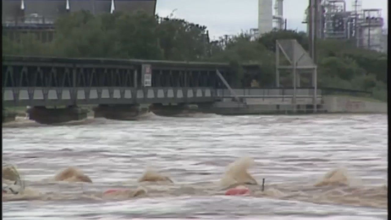
In October, 1986, a devastating flood hit the Tulsa area when the Arkansas River raged out of its banks.
It was a true perfect storm: a stalled front combined with moisture from a hurricane dumped up to 20-plus inches of rain upstream into the Arkansas River basin. It forced record releases from the Keystone Dam.
From Sand Springs to Brookside to Jenks and Bixby, people evacuated. Water covered streets and flooded thousands of properties with more than $65 million in damage throughout Tulsa County.
Many areas now developed, like Katy Banning's new Bixby neighborhood, were under water in 1986. She had no idea her property was at risk
"We weren't told, but had we been told, we would have got a second opinion and checked with our insurance company to make sure it was safe and everything to move in," said Katy Banning.
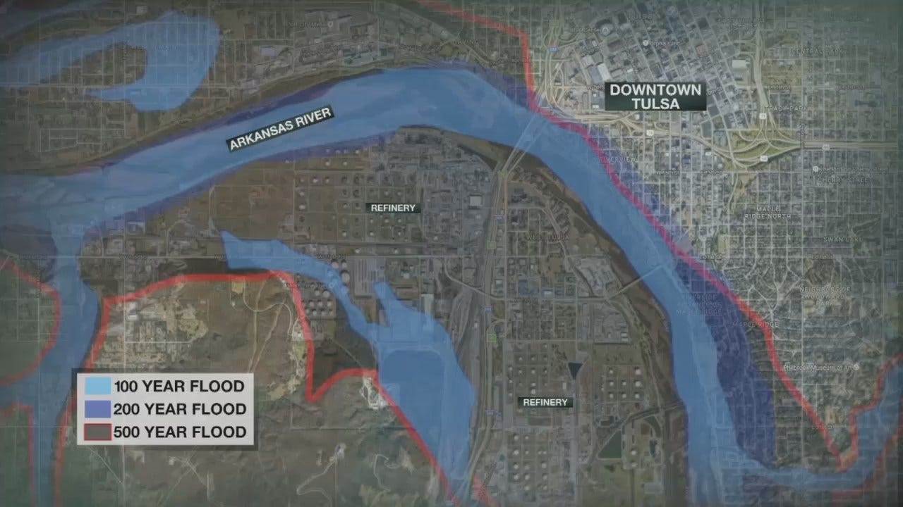
INCOG – Tulsa County Floodplain Map
Now, when building in the Arkansas River floodplain, developers are only required to reveal if a property sits inside the 100-year floodplain which means there's a 1 percent yearly chance of flooding. The '86 flood is considered a once-in-200-year flood, and there is no disclosure requirement for that.
Gaylon Pinc is an expert on Arkansas River flood control and potential development.
"We learned a lot from that flood in that the 100-year protection in some areas may not be adequate," he said.
Since '86, levees built to handle a 100-year flood protect Tulsa, Sand Springs and Jenks, but bring their own problems.
"By building a levee in one area, you actually can exacerbate flooding downstream in another area," Pinc said.
That leaves downstream communities more vulnerable.
Flying over Bixby, Jenks and Tulsa, you can see how much has been built in some areas that were once flooded. Many of these areas lie in the floodplain. Some of these places have taken extra steps though to protect for the next flood disaster like Margartitaville Resort and Hotel.
River Spirit Project Manager Randy Hull and his crew engineered a widened concrete drainage channel funneling storm runoff underneath the resort. The tributary into the river is built to handle more water than the '86 flood.
"All of our decisions were based on what happened in '86," Hull said. "So, all of our decisions were based on 'what are we going to do in the event of.' or 'how are we going to plan this building for what could happen.'"
The entire building was built to withstand a flood that would rise one foot *above* the '86 flood. Advances in technology give Hull less concern for a catastrophic event.
"I'm more confident than what happened in '86 because the information is a lot better, the monitoring is a lot better," said River Spirit Project Manager Randy Hull.
"We have a lot more time to do something in the event of a major flood event, and our capacity is greater."
But, not everyone is building above minimum standards.
An overview of what could be underwater if a 200- or even a 500-year river flood happened shows many new neighborhoods, businesses and planned developments flooded - hundreds of millions in damage.
"It's going to be a man-made flood, if you will," said flooding expert Gaylon Pinc. "It will be deliberate releases at these high flood levels, and we will have warning just like we did in '86 to get out of the way, which is the best solution."
And knowing your risk is the first step to staying safe.
"Got to the FEMA website or go to your local floodplain manager. Ask to look at the maps to see what flood zone you are in," Pinc said. "I wish more people did that. Everybody should do that whether you think you're on high ground or not because there are certain localized floodplain issues you need to be aware of in certain watersheds."
Experts say flood insurance is vital, even with the extra expense.
"We would look into it especially when the river gets high, but just by looking at it - the embankment looks pretty high," said homeowner Katy Banning. "I don't know how it would flood again, but I mean, if someone advised us to, we'd think about it."
You have to know your history to best prepare for your future. Experts recommend building in flood-prone areas to the '86 flood level plus one foot.
"Nature can always outdo itself in doing harm to us that live in homes that are vulnerable," Pinc said.
More Like This
September 21st, 2016
January 2nd, 2025
September 29th, 2024
September 17th, 2024
Top Headlines
January 27th, 2025
January 26th, 2025
January 26th, 2025
January 26th, 2025


