Severe Weather Moves Through Green Country Overnight
The threat of severe weather returned to the northeast and central Oklahoma on Thursday night.Friday, May 12th 2023, 1:28 am
TULSA, Okla. -
Severe Weather Update 11:46 p.m.: Tornado Watch for Haskell, Latimer, Le Flore, Pittsburg, and Pushmataha County in OK until 4:00am on Friday, May 12.
The threat of severe weather returned to the northeast and central Oklahoma on Thursday night.
A much stronger storm system was rapidly nearing the state from the west and brought threats for severe thunderstorms by Thursday evening across northwestern Oklahoma. All modes of severe weather were possible, including large hail, damaging wind, and even tornadoes. This system should exit the area later Thursday night, but additional rain and storm chances will remain through the weekend as yet another system nears from the southwest.
A dryline was established later this afternoon across the far western sections of the state as strong upper-level winds arrive from the southwest. A surface area of low pressure is developed across southeastern Colorado. Along and southeast of the surface low, as the dry Line surges eastward, supercell storms will be possible from north central OK into the I-35 corridor that will move east later tonight. Deep layer shear is more than adequate for supercell storms during the early hours of the event. These types of storms can produce some high-end severe weather.
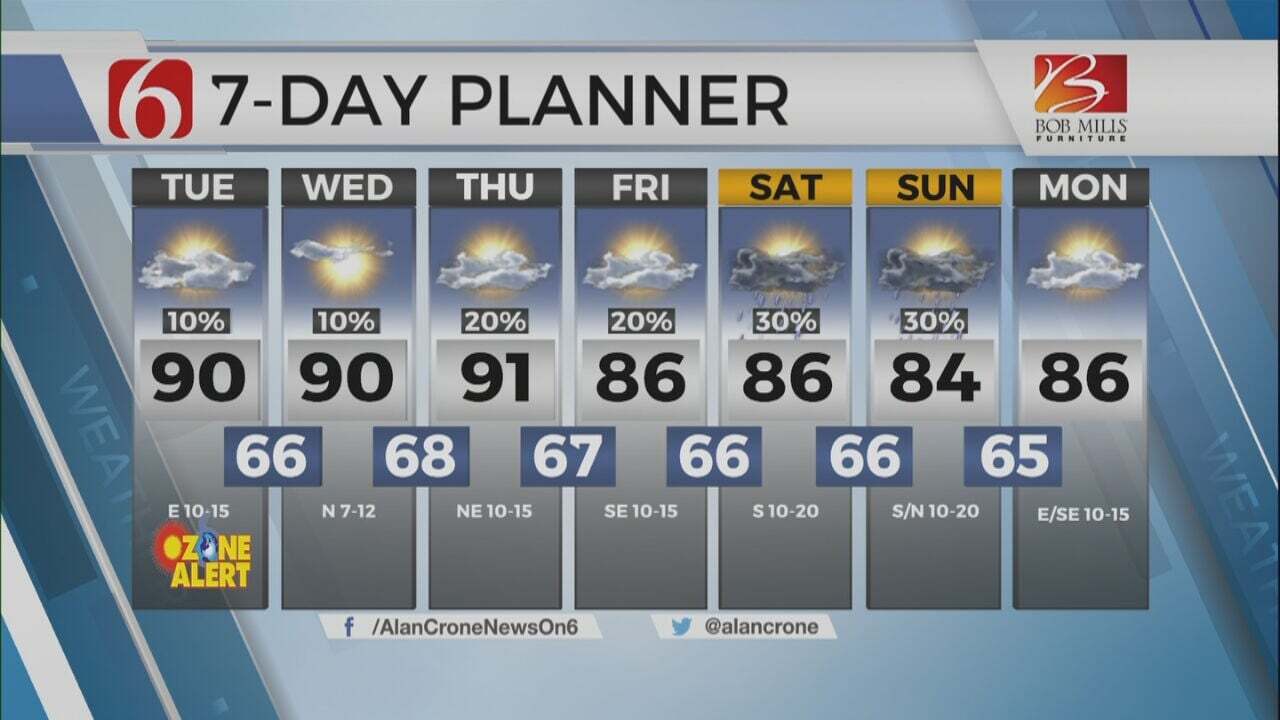
We’re expecting a break in activity for most of Friday, but another disturbance arrives Friday evening into Saturday from the southwest providing periods of rain and storms entering part of the area. A few strong to severe storms will remain possible Friday evening near and south of the Tulsa metro. Severe weather threats will be more notable from southwestern, southcentral, and southeastern OK Friday evening. This active weather pattern appears to remain near the state this weekend with several waves of instability creating pockets of heavy rainfall and some thunder. The upper air flow will remain weak this weekend. This will limit and mute severe weather probabilities, but precipitable water values support mentions for pockets of locally heavy rainfall.
A surface cold front is likely to arrive sometime Sunday afternoon bringing north winds and a reduction in daytime highs early next week. Yet a few subtle waves in the upper air flow may still trigger showers Monday before moving south of the area early Tuesday morning.
More Like This
May 12th, 2023
July 3rd, 2023
June 8th, 2023
June 6th, 2023
Top Headlines
December 21st, 2024
December 21st, 2024
December 21st, 2024


