El Nino To Affect Oklahoma's Winter Weather
El Nino is back this winter and it's one of the strongest on record. Wednesday, November 4th 2015, 11:15 pm
El Nino is back this winter and it's one of the strongest on record. How do we know? During an El Nino, the water in the Pacific Ocean near the equator heats up.
Currently, this pool of water is some of the warmest we've seen. This phenomenon not only affects the weather globally but also right here in Oklahoma. During an El Nino, the Pacific Jet Stream intensifies across the southern states bringing in storm after storm. At the same time the Polar Jet Stream will be diving out of Canada bringing in cold air off and on across mainly the eastern half of the U.S.
You can look back at what past strong El Nino's have done to our Oklahoma winters. Of the seven strong El Niño's beginning in the 1950s, all but one has been wet for Oklahoma, with above normal precipitation. Temperatures for more than half of the of these strong El Nino years was above normal. Taking into consideration past El Niño's, current ocean temperatures and weather patterns, this winter looks exciting to say the least. Our winter will be fairly wet. An active storm track tied to El Nino should deliver storms from the west throughout the winter months.
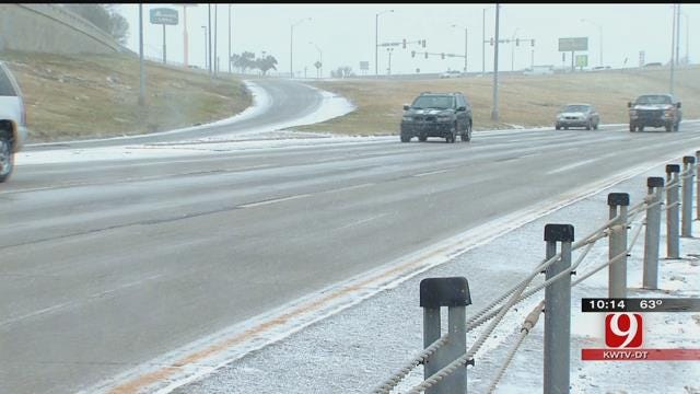
Unlike most El Nino winters of the past, we think our winter overall will be colder than normal. Occasional cold air from the north combined with wet and cloudy weather should make it a bit chilly. And for all the snow lovers, this should be a winter you'll love. We think from the first snow to the last snow, we will see above normal snowfall. It may be as much as 30-40% above normal.
Right now, it looks like the worst of winter might arrive in January and February and even last into March. Whatever winter brings to Oklahoma this year, one thing is for sure, the News 9 Weather Team is fired up and ready!
More Like This
November 4th, 2015
December 20th, 2024
December 20th, 2024
December 20th, 2024
Top Headlines
December 20th, 2024
December 20th, 2024
December 20th, 2024
December 20th, 2024


