Tornado Threat Moves To South-Central, Eastern Portions Of Oklahoma
Get ready for severe weather as rain and some severe storms make their way into the state with a moderate tornado threat for much of the south-central and eastern parts of the state.Friday, November 4th 2022, 5:43 pm
OKLAHOMA CITY -
Latest Warnings And Alerts
4:06 p.m. -- A Flash Flood Warning has been issued for Hughes and Pontotoc counties until 8:30 p.m.
3:43 p.m. -- A Severe Thunderstorm Warning has been issued for Carter, Love and Murray counties until 4:30 p.m.
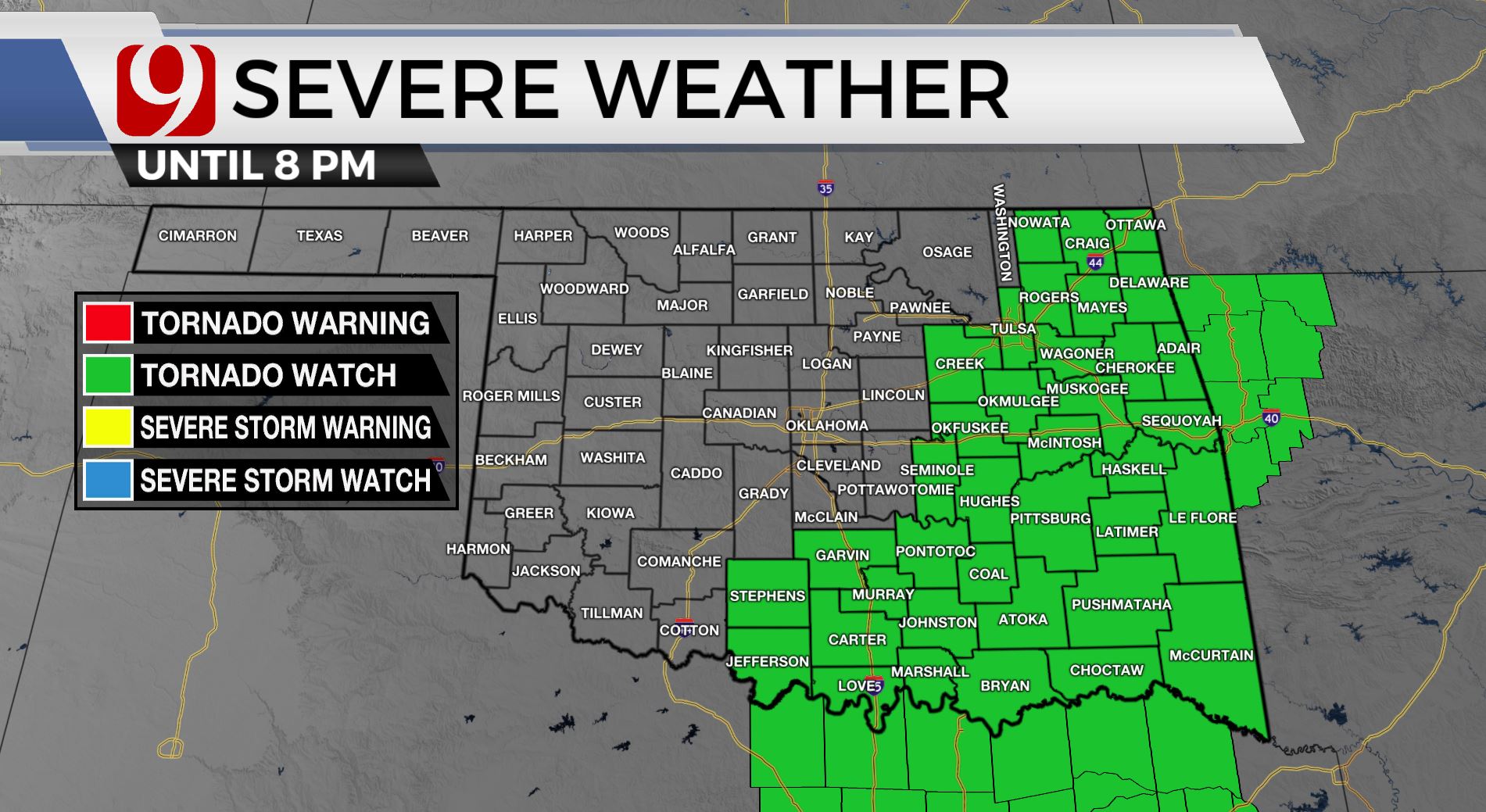
1:01 p.m. -- A Tornado Watch has been issued for Carter, Garvin, Hughes, Jefferson, Love, Murray, Okfuskee, Pontotoc, Seminole and Stephens counties until 8 p.m.
---------------------------------
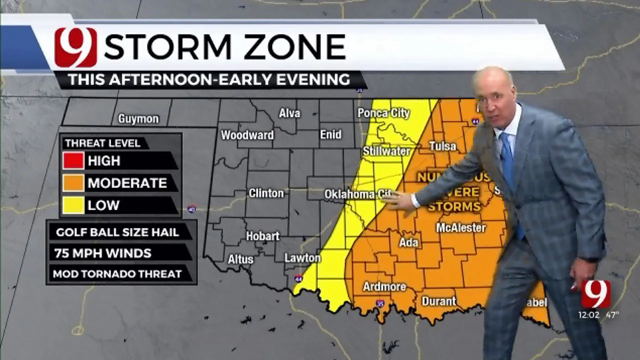
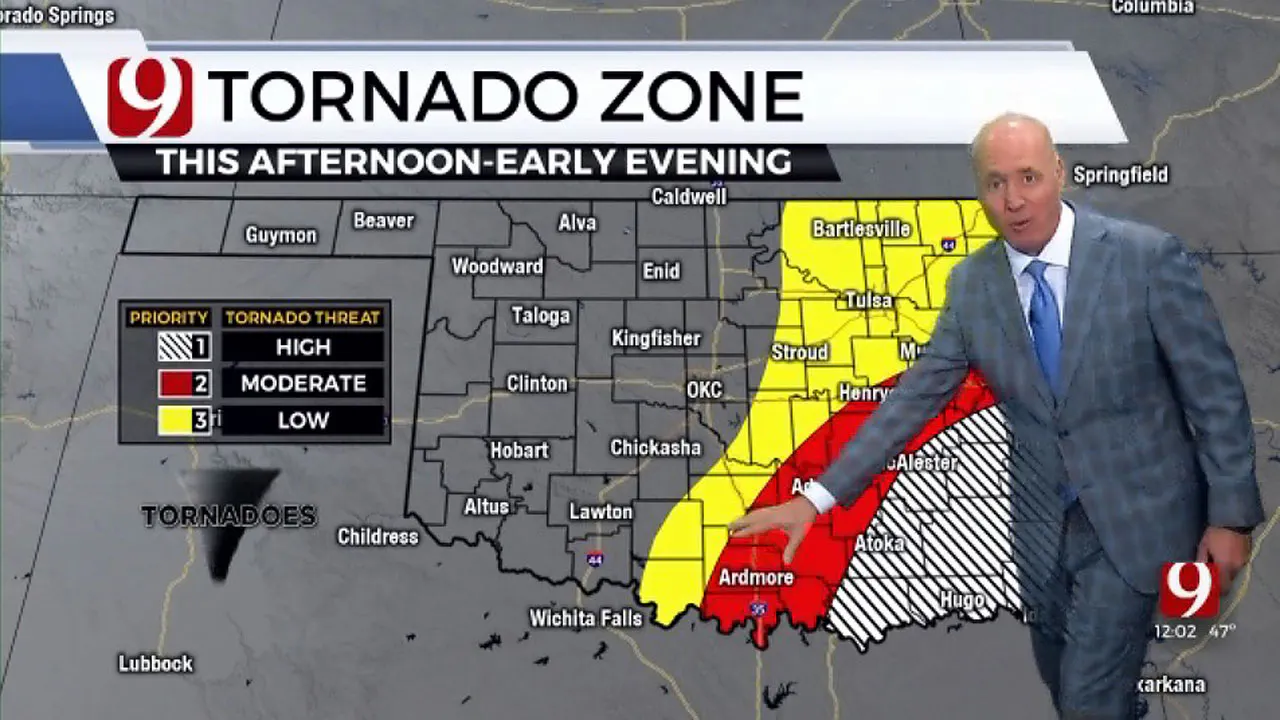
Get ready for severe weather as rain and some severe storms make their way into the state with a moderate tornado threat for much of the south-central and eastern parts of the state.

The threat will run along and east I-35 and will increase for the southeastern parts of the state.

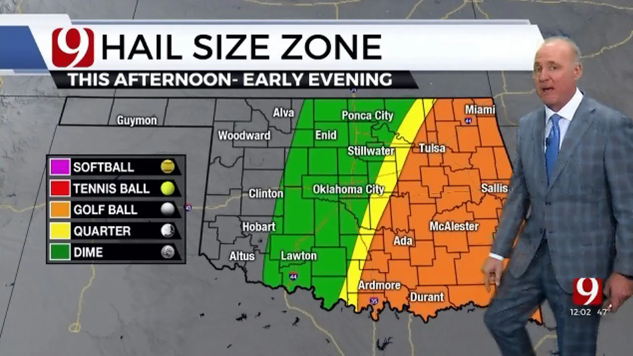
The tornado zone has made its way out of the Oklahoma City metro, but some showers and storms could be possible Friday afternoon into the early evening.

Storms should begin to taper off into the evening however, but the far western and eastern parts of the state should continue to see showers.
Despite the rain and storms, we should still expect high temps into the low 70s.
More Like This
November 4th, 2022
November 25th, 2024
November 25th, 2024
November 25th, 2024
Top Headlines
November 25th, 2024
November 25th, 2024
November 24th, 2024
November 24th, 2024


